Community Overview

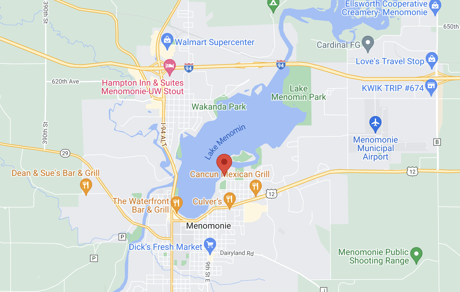
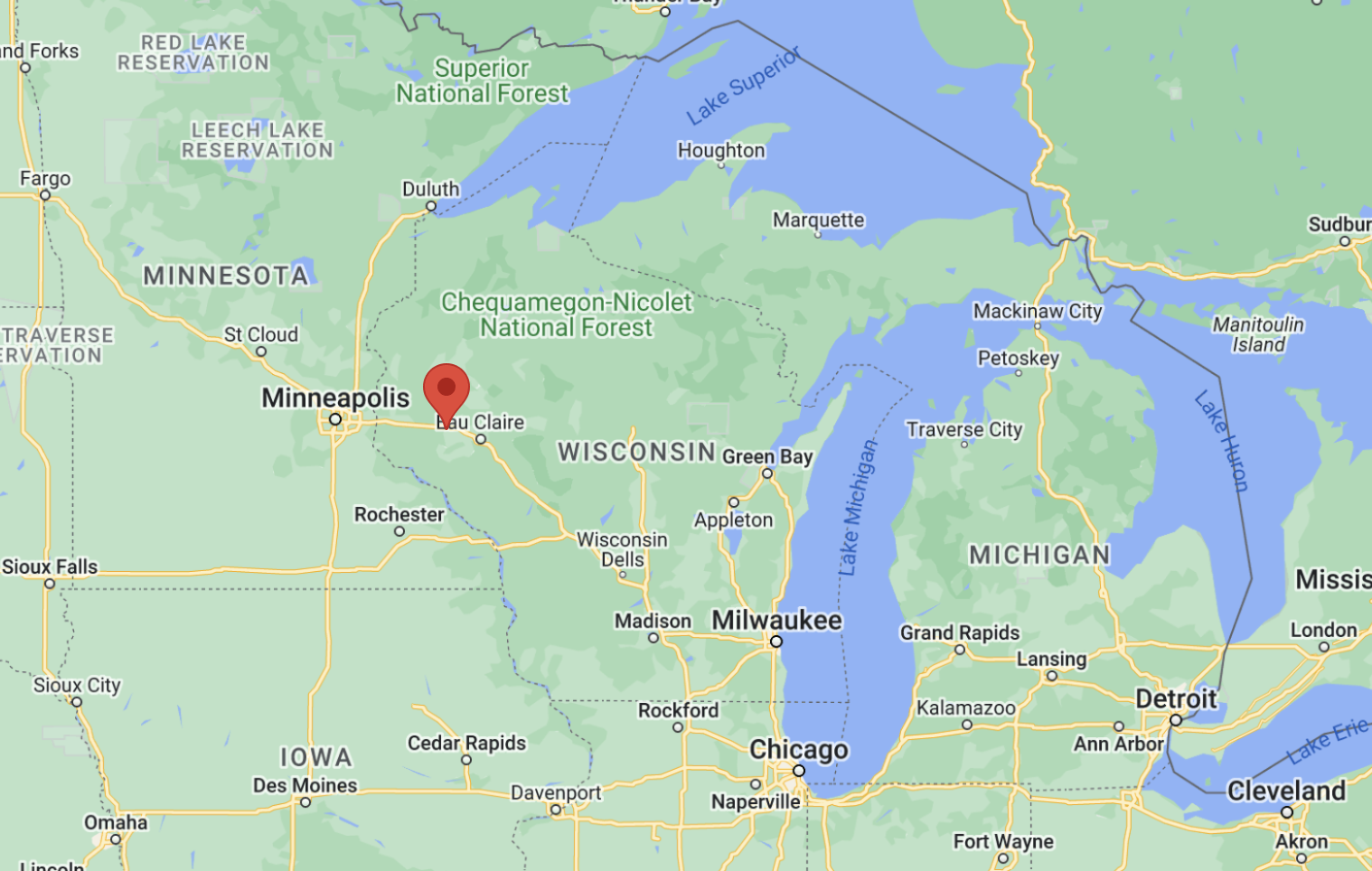
Menomonie is strategically located between the Twin Cities of Minnesota and Eau Claire and Chippewa Falls along I-94. With a population of more than 16,000, the city has a thriving industrial base. Menomonie’s Main Street has been designated a national Downtown Historic District. Lake Menomin is in the heart of the city, providing residents year-round recreational and community event opportunities. UW-Stout has an international reputation for its excellent degree programs in business, industry, technology, education, human development, and art and design. Chippewa Valley Technical College, Menomonie Campus, is located in the adjacent Stout Technology Park. The site is located in Menomonie Industrial Park, which is part of a developed industrial section of the city, located within city limits around Menomonie Municipal Airport, I-94, and Union Pacific Railroad.

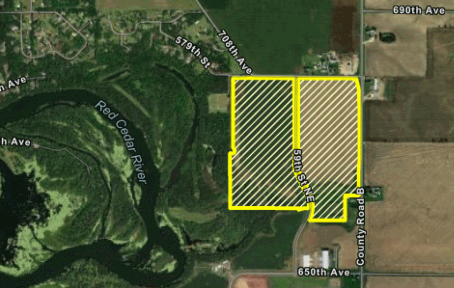
Number of remaining acres: 127 acres

  • A satellite view of the site outlined
  • Aerial map of site in proximity to other states and bodies of water

Site Features

Location

General surroundings fit for industrial activity

Roadway and rail access

Commercial and freight airport access

Flight path certifications not proximate of any airport

Single owner with documented willingness to sell

Utilities

No utility easements that would prevent development

American Land Trust Association (ALTA) survey

Fire insurance classification rating 3

Zoning

Industrial zoning

No known environmental impediments to immediate industrial development

No known archaeological/historical impediments to immediate industrial development

No known impediments to immediate development related to endangered species

Topography

No significant topography issues

132 contiguous acres not affected by wetlands

127 developable acres remaining

Site not located on or adjacent to flood plain

Site Contact

Eric Atkinson

800 Wilson Avenue
Menomonie, WI 54751

Site Resources

Community Profile

Community OverviewRoad Access InformationAirport Access InformationAirport Height Limit InformationZoning Overlay Code

Site Overview

Aerial MapAerial ImageALTA SurveyFIRM MapWarranty DeedTopographical InformationSewer and Water Utility InformationWetland ReportEnvironmental Site AssessmentGeotechnical ReportArchaeological Report

Zoning

Zoning CodeZoning Information

Utility Details

Electrical Utility InformationGas Utility Information