Community Overview

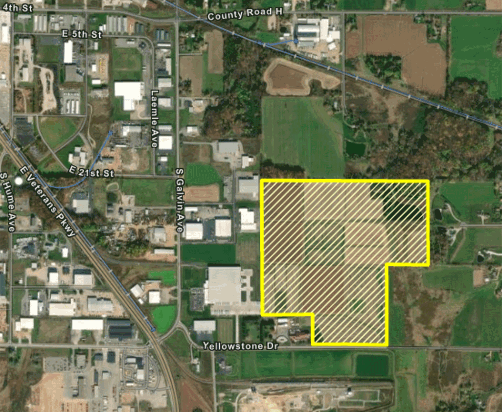
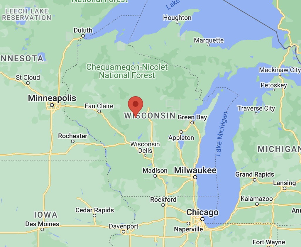
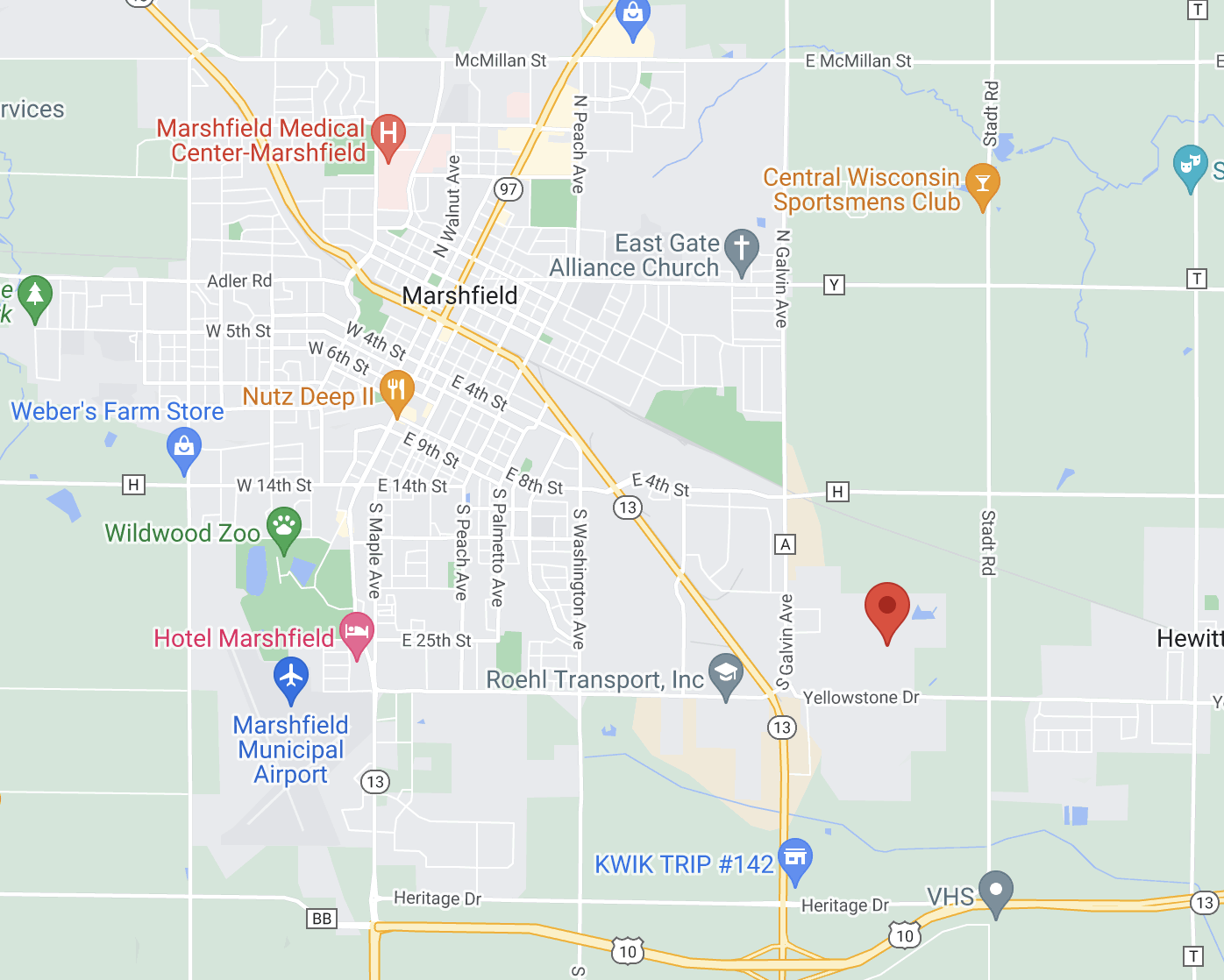
Yellowstone Industrial Park is located on Marshfield’s southeast side, less than one mile from a four-lane U.S. highway and just 30 miles to the nearest interstate (I-39). Rail access is available in the southern portion of the park. The City of Marshfield owns the rail spurs within the industrial park, and no future right of way will be required. A beautiful multimodal trail bisects the industrial park. Lots can be subdivided to fit your needs. Marshfield boasts great companies in a variety of industries, including agriculture, manufacturing, medical, and transportation. A technical college and two-year university, along with highly ranked K-12 schools, provide lifelong learning.

  • Aerial satellite view outlining the property
  • Map view showing proximity to nearby states, cities, and bodies of water
  • Map of surrounding local businesses

Site Features

Location

100+ acres of greenfield under public control

Less than two miles from four-lane U.S. Hwy. 10 and just 30 miles to nearest interstate (I-39)

Central Wisconsin Airport (CWA), located 40 miles from the property, offers commercial service with direct flights to MSP and O’Hare. CWA also offers freight service.

Rail-served by Canadian National Railway Company

Utilities

No known utility easements on site

ALTA survey completed June 2023

Zoning

Phase I Environmental Site Assessment completed April 2023 on ~146 acres

Archaeological and architecture/history review completed May 4, 2023

Endangered resources review completed April 2023

Topography

100+ acres of greenfield under public control

Wetlands survey completed December 2020

Site Contact

Steve Barg

City Administrator

City of Marshfield
207 W. 6th St.

Site Resources

Community Profile

Aerial MapUSGS MapRegional Transportation MapLetter from Canadian National RailwayMaster Site Plan – Rail Cost OpinionGeneral Transportation Map

Site Overview

Master Site Plan - Option 1Master Site Plan - Option 2Aerial Site ImageMap of Nearby BusinessesALTA SurveyCity of Marshfield LetterVacated Easement Water LineFEMA MapProperty Availability LetterOwnership LetterQuick Claim DeedTax Parcel MapTopographical Information (w/aerial)Topographical InformationWetland ReportEnvironmental Site AssessmentArchaeological and Historical ReviewEndangered Resources Preliminary AssessmentEndangered Resources Review RequestCity of Marshfield Fire RatingPreliminary Subsurface Exploration and EvaluationSoils Map

Zoning

Zoning MapZoning DescriptionZoning Map of Area Including SiteEast Industrial Park Covenants